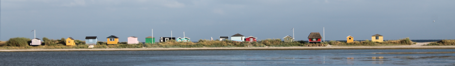
PERICLES employs a participatory, multi-method and cross-disciplinary research approach. This enables a wide range of qualitative and quantitative data and findings to be gathered and analysed to inform the development of policies and tools to sustainably manage and use both tangible and intangible CH resources and land/seascapes. The project includes eight pilot study and demonstration sites across six case regions: the Atlantic, Aegean, Baltic, Irish, Wadden and Mediterranean Seas, facilitating an in-depth understanding of CH and enabling PERICLES to co-produce innovative approaches for the preservation of cultural landscapes.
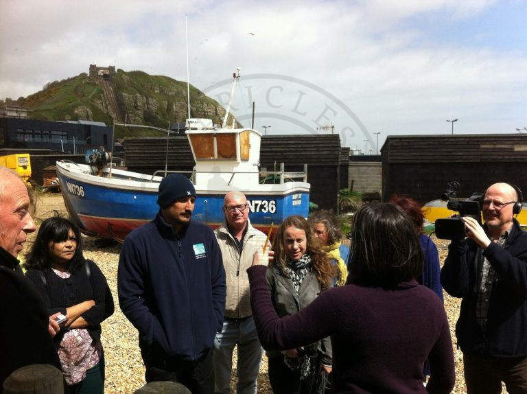
Methods and tools applied will include Visual Problem Appraisal and ethnographic video methods; citizen science public participation mapping; qualitative interviews; structured surveys; comparative policy analysis; historical and archaeological approaches; DNA analysis; ecological models; expert input and knowledge exchange, training events and peer- to-peer networking; innovation workshops to identify new products and services that can be used to sustainably exploit CH; risk assessment; deliberative multi-criteria workshops; economic valuation methods to understand consumer preferences for different products in local economies, which will help to identify indicators of success and barriers; visioning exercises to identify ideas and ambitions; and artistic interventions, to help to capture and portray heritage knowledge.
Method and tool templates
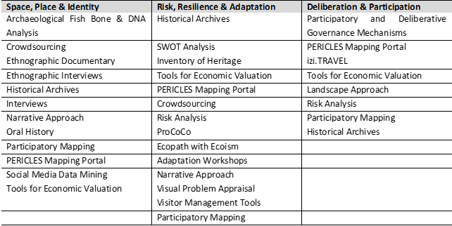
PERICLES has developed a wide range of templates for methods and tools for understanding, preserving and sustainably using cultural heritage. The templates provide a brief synopsis of the method/tool, development, current use and applications and references and links for further reading. The collection of templates can be accessed here.
Tools and method templates available in relation to PERICLES’ three pillars.
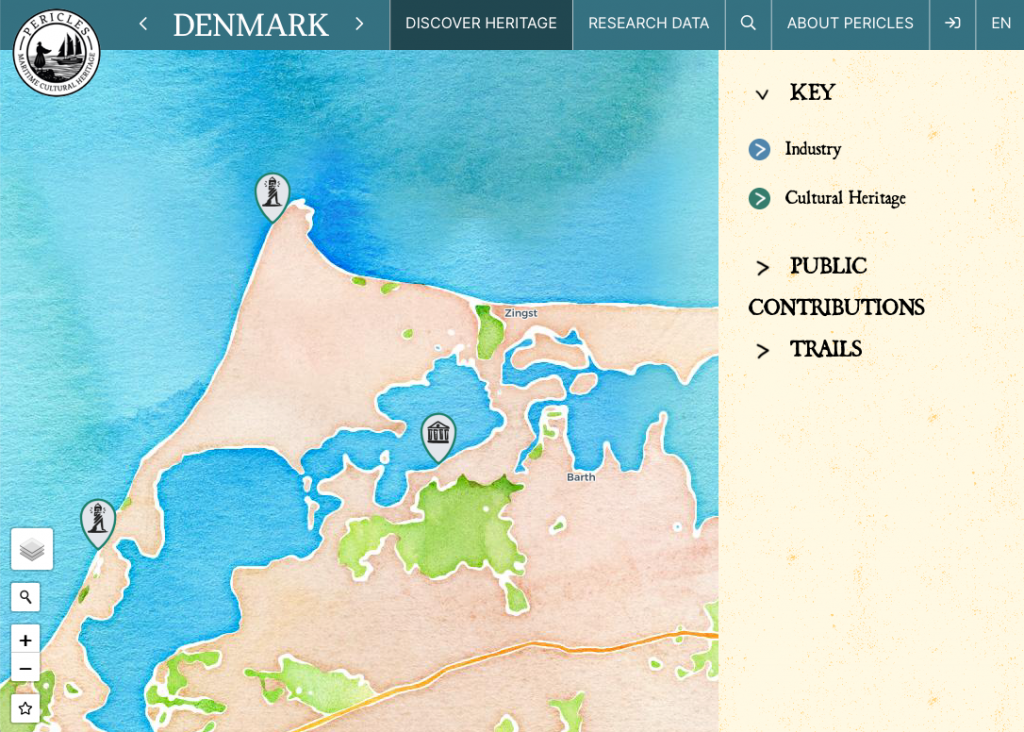
Map your heritage!
PERICLES is also developing a user-friendly online participatory mapping portal (www.mapyourheritage.eu) where citizens and stakeholders across our case regions can find official cultural heritage data at local, regional, national and European scales as well as environmental and social data; but also upload their own multimedia data and create their own maps and trails.